I don’t care how long someone has lived in a place where it snows – that first snowfall is always exciting. It doesn’t matter whether it’s just a flurry or a real accumulation. For some reason, no matter how many years a person has seen it, the moment those first flakes start to fall feels worthy of celebration. How long that celebration lasts is another story, of course. But for now, today, at this moment, the people of Maine are enjoying a snowy little honeymoon.
Snow wasn’t forecast to make an appearance this past Tuesday. According to Laura, the day was meant to begin with clear skies before fading into an overcast afternoon. And technically, that’s exactly what happened. We enjoyed a bright, crystal-clear sky – for about five minutes at seven in the morning. After that, the clouds muscled in and the flurries settled over everything. Not that we minded; we were already headed north to Carrabassett Valley, and a touch of “weather” always adds a little adventure to these types of trips.
Our plan for the day was modest: walk a mile or two along the Narrow Gauge Rail Trail. Laura wanted to stop at the wooden bridge to check for birds resting in the nearby wetlands. Since the bridge sits just over a mile from the parking lot, I agreed without hesitation. I like a good walk as much as the next guy, but wandering miles toward an uncertain finale doesn’t hold much appeal. For me, anyway. Having a clear distance and a definite destination made all the difference this time.
Before starting the trail, though, we made a quick detour to Sugarloaf to see whether any snow had gathered on the mountain. Rumors of early snowmaking were circulating, and the temperature had dipped below freezing. With thick clouds wrapped around the summit, all the ingredients were there. As the photos below show, Sugarloaf is well on its way to a proper winter coat, just in time for their November 21 opening day.
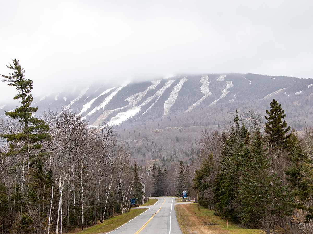
I find it difficult to believe that the cloud cover at the top of the mountain wasn’t producing accumulation, so I’m going to go ahead and say it was snowing up there. If the temperature was 29° at the base, it was likely closer to 20° at the summit. If you’ve ever skied, you know just how dramatic the temperature difference can be between the bottom and the top of a mountain.
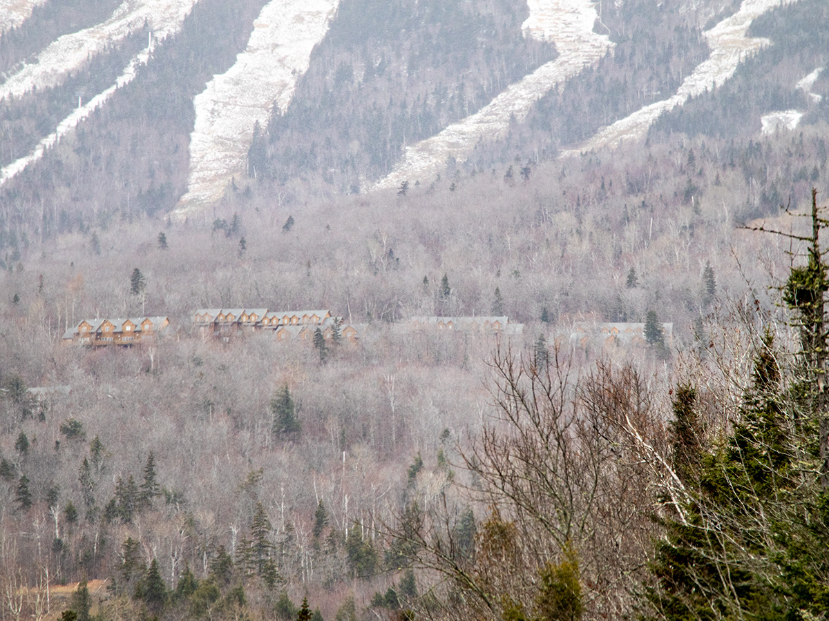
Mountains like Sugarloaf can look deceptively “normal” from a distance – almost modest, even. They don’t seem all that imposing until you get closer. That’s where most people are mistaken. Sugarloaf, and mountains like it, is huge. Really huge. Just take a look at the condos in the next photo.
It was fun to see the mountain again, especially since it’s been about a year since our last visit. After that, we drove through a local neighborhood filled with wonderfully wealthy mountain homes and made a quick stop at the outdoor center, which, unfortunately, was closed to visitors. Then it was on to the rail trail.
For this section, I think I’ll simply share some of the photos I took rather than dive into any long-winded commentary. I’ve written versions of this post so many times that I can’t bring myself to repeat it yet again. Poor Laura struggled to take any photos at first, but she eventually dug out her camera and captured some of the prettier spots. If I feel compelled to offer more detailed commentary later, I will.
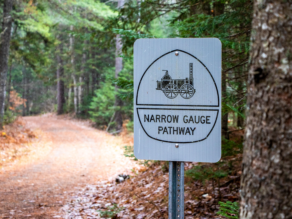
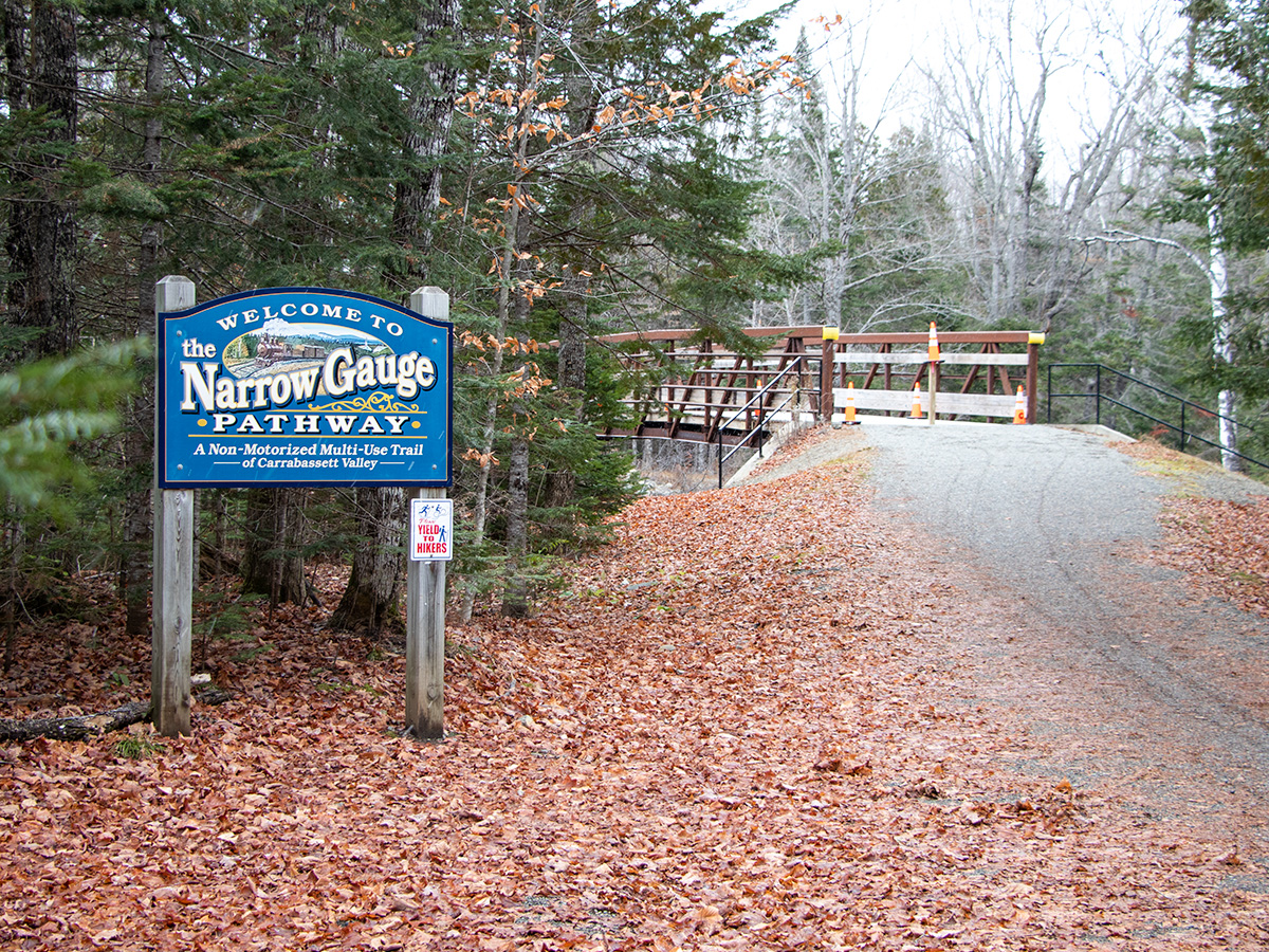
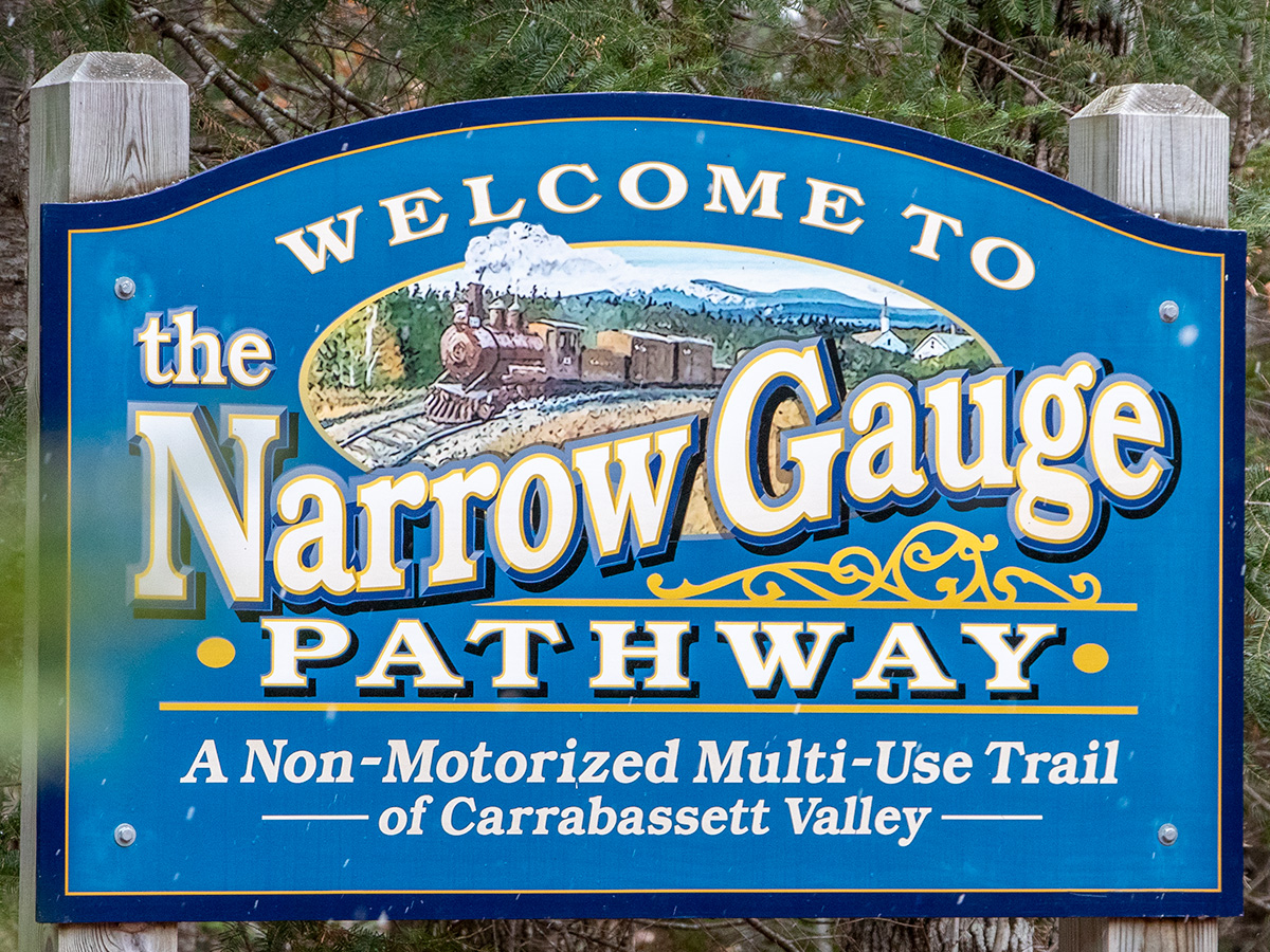
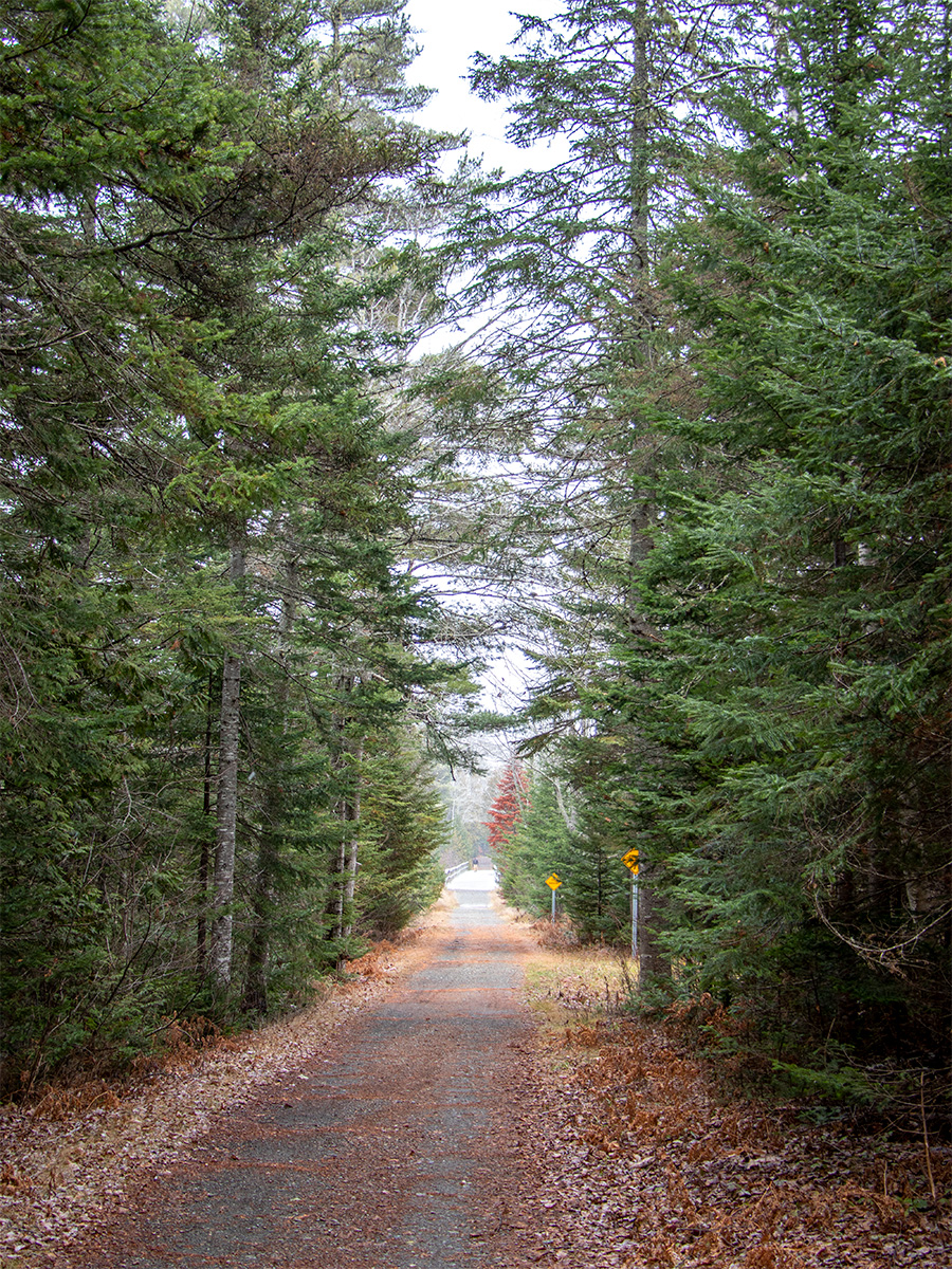
At this point, it feels almost obligatory to include a photo of the trail sign. We’ve done it for every similar post we’ve written, so why stop now?
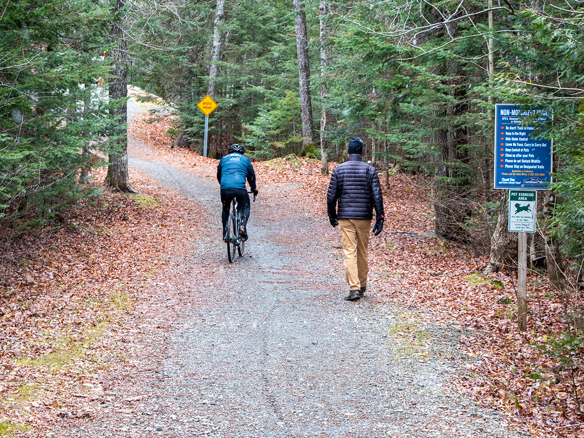
This next picture is a great example of how people in Maine make the most of the outdoors. While we were walking, we passed a gentleman strolling alone, a few folks riding mountain bikes, and two women walking their dogs. It’s always nice to see people out and about, enjoying the fresh air, even when the weather can change at a moment’s notice.
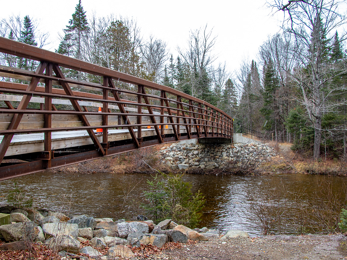
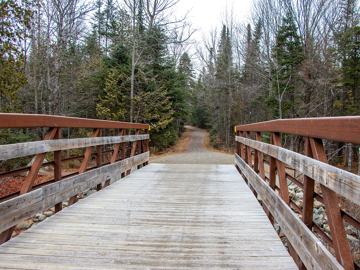
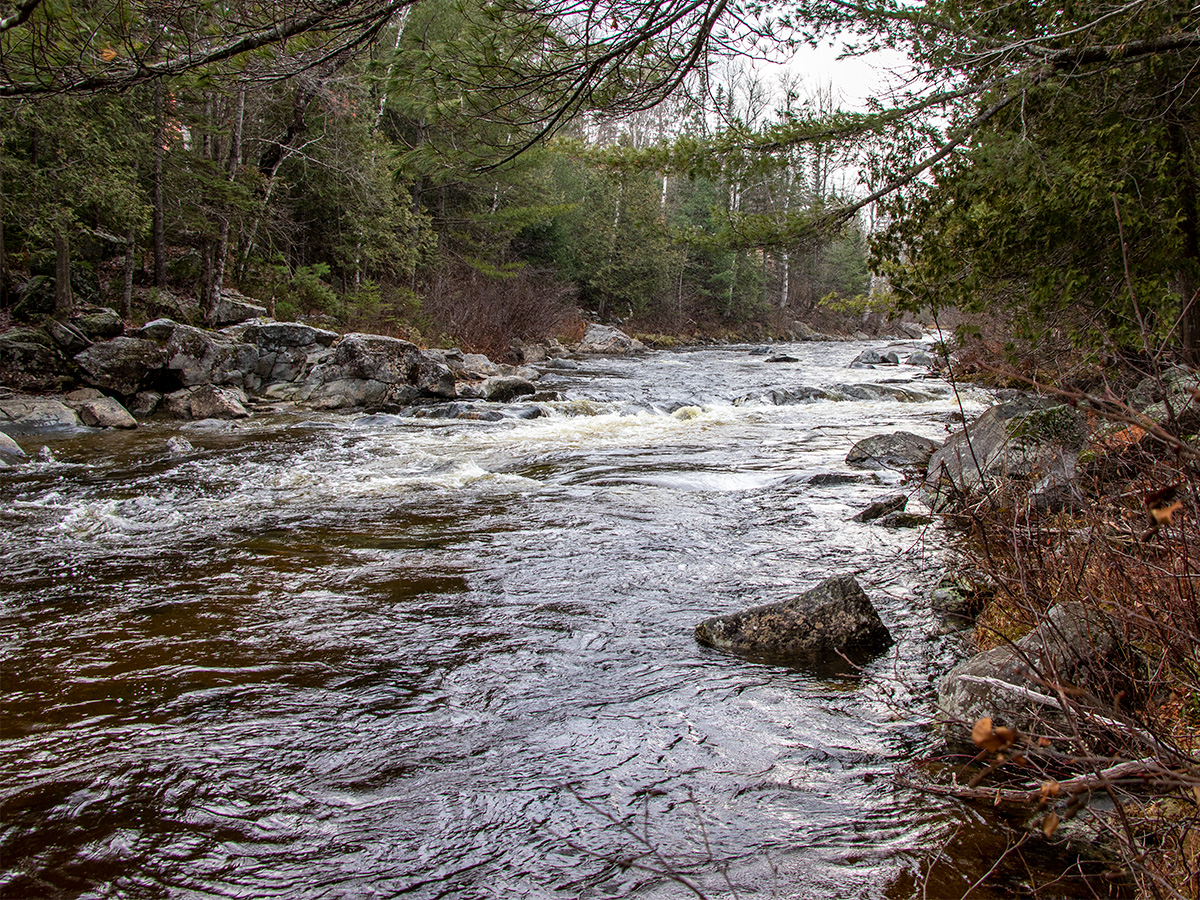
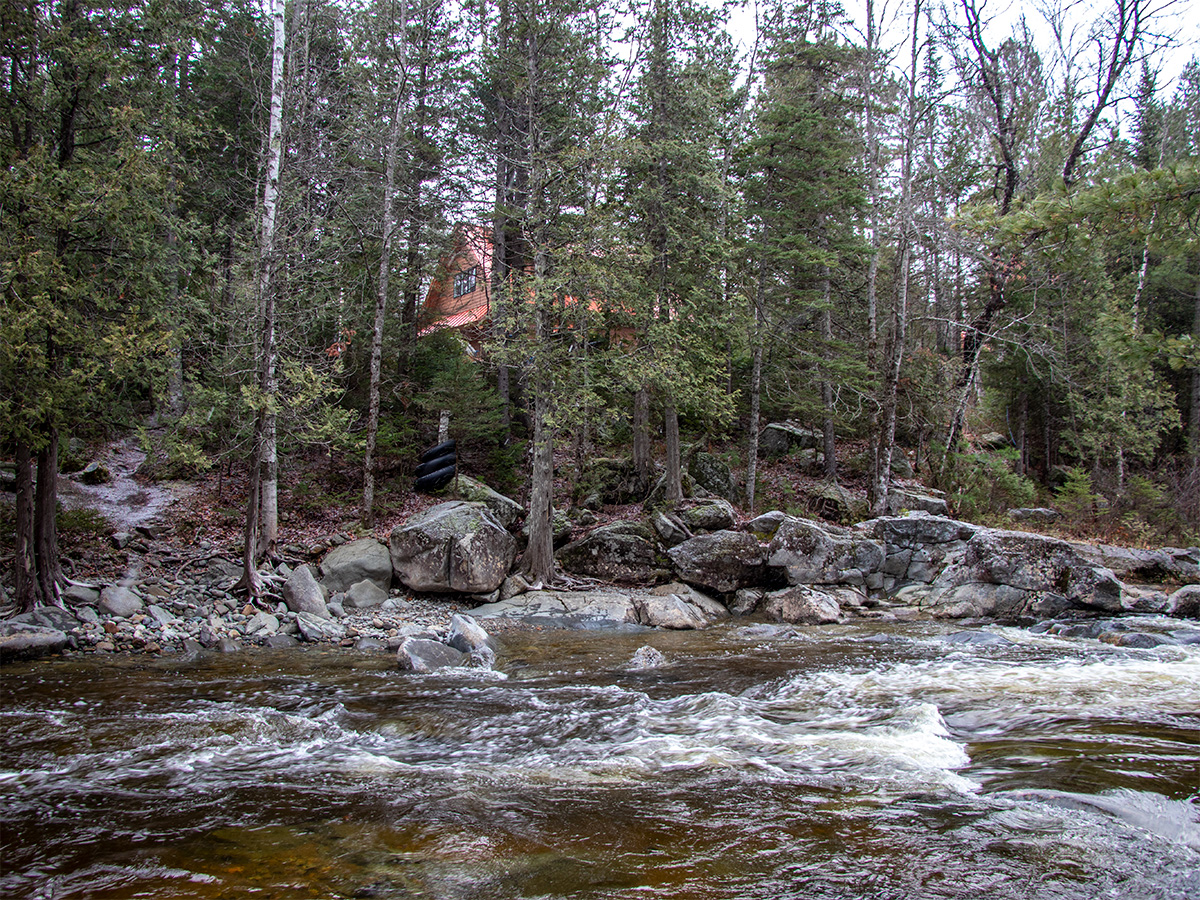
These next few photos are of the bridge that spans the Carrabassett River.
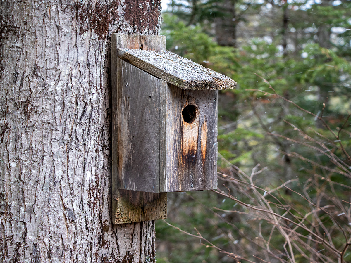
The pathway is generally long and straight, but there are some charming and picturesque features along the way. I’ll start with a random birdhouse we happened to come across.
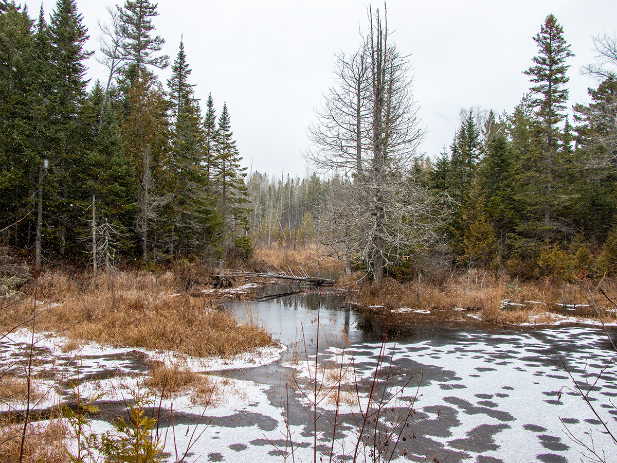
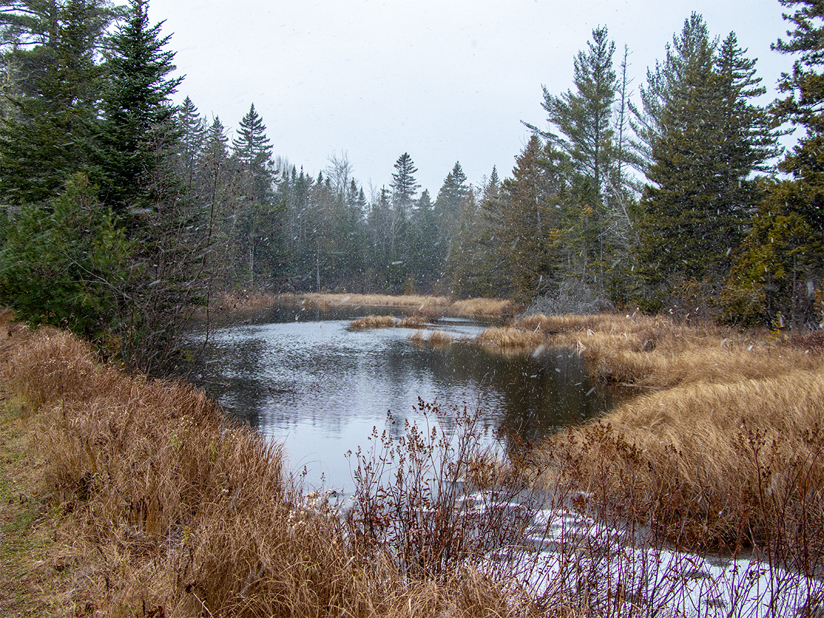
The most interesting features – and the very reason for our outing – were related to water, or what most people would simply call wetlands.
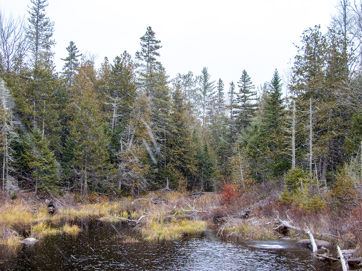
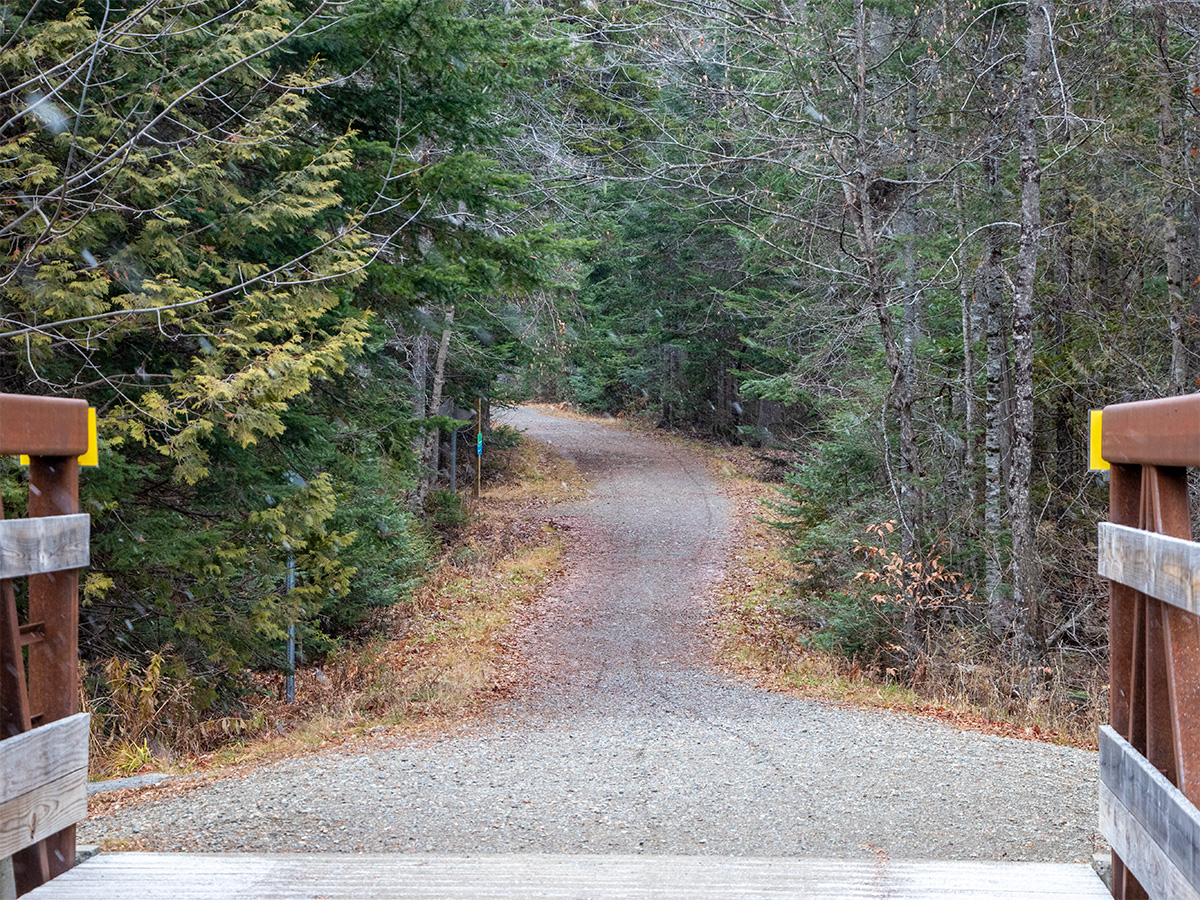
This is a long-shot of the trail heading south toward the wooden bridge. What a place to walk, I’ll tell ya.
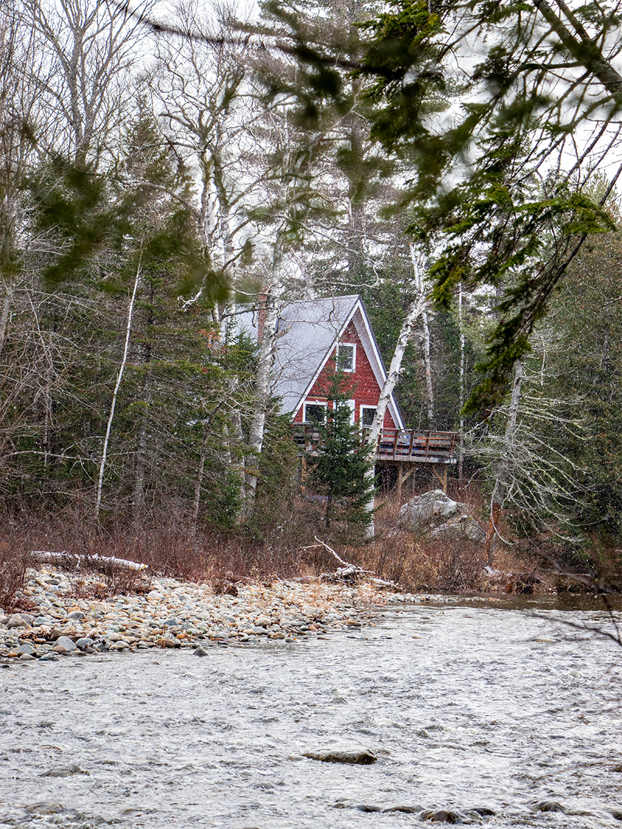
The pathway runs parallel to the Carrabassett River, which is always a nice sight. The river’s flow is finally returning to normal after this summer’s drought. Homes line the riverbanks as well. Just imagine owning one of these properties and being able to wade into the river to cool off during the summer heat.
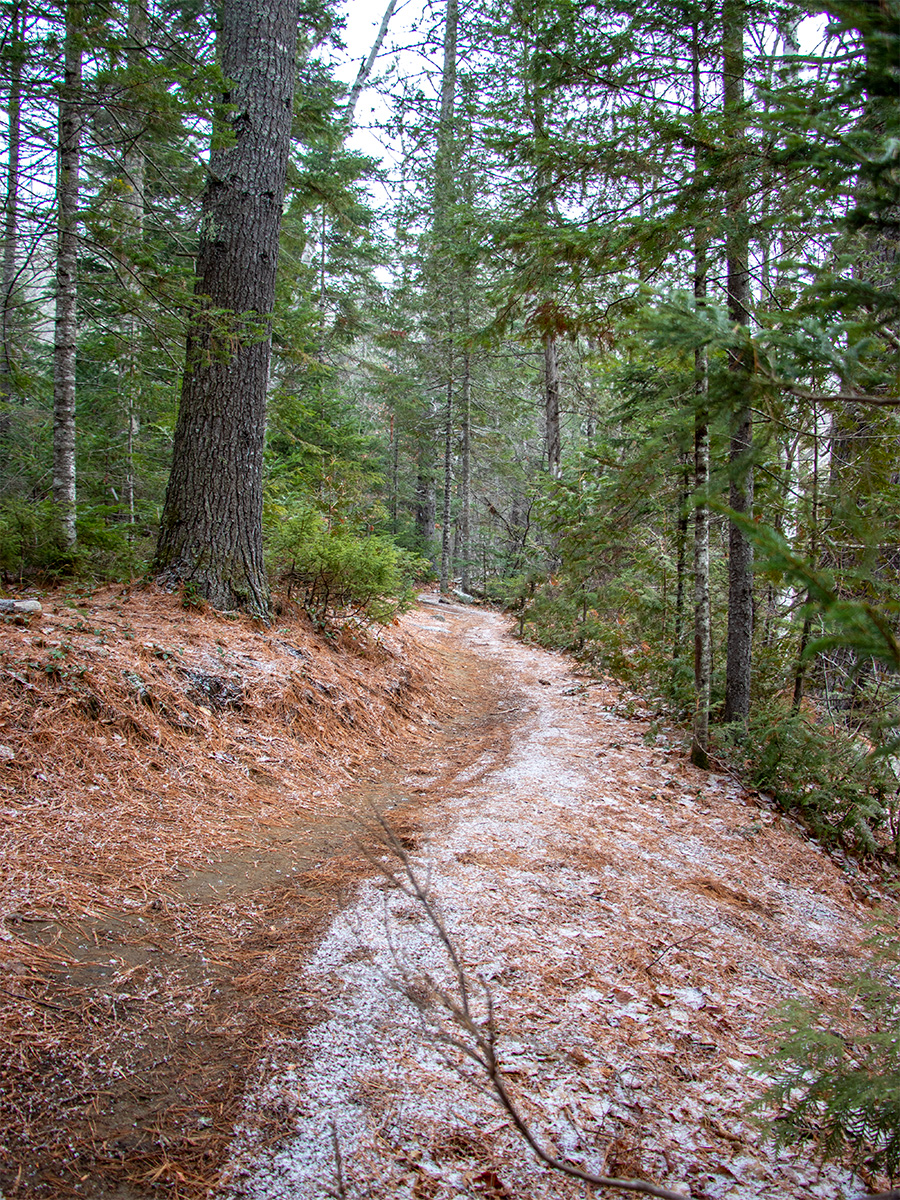
For the final picture, I’ll show a small section of a mountain bike trail that runs parallel to the main pathway. If anyone ever grows tired of walking or riding the wider, more well-traveled trail, they can easily explore the network of side trails instead. They’re thinner and so much more interesting.
It’s easy to lose sight of all the nature and activities right in our own backyard, which is why it’s so important to get out and enjoy them. Over the past few weeks, Laura and I have walked both the Narrow Gauge Pathway in Carrabassett Valley and the Whistle Stop Trail in Farmington. I forgot to bring my camera for the latter, but I’ll be sure to remember next time we visit. Until then!